Master Program In Geomatics Engineering
The Master Program in Geomatics Engineering of Engineering Faculty, Universitas Gadjah Mada offers a master level education aiming at producing graduates with capabilities in scientific and professional work in Geomatics Engineering. Geomatics (geo-referenced informatics) deals with spatial information or locational information as a primary factor. It is currently also known as geospatial information. Geomatics applies scientific and engineering principles to integrate the acquisition, processing, analysis, display, use and management of geo-spatial information for various purposes.
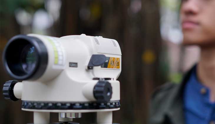
Geomatics Engineering is based on the engineering science related to surveying and mapping as well as information and communication technology (ICT).
This discipline serves activities involving geospatial information such as land administration and management, administrative boundary, land and property taxation, spatial planning, smart city and geospatial modelling, engineering survey, geodynamics, deformation analysis, 3D heritage modelling, and environment.
This program offers five concentrations:
- Survey and Mapping.
- Photogrammetry and Remote Sensing.
- Geodetic Laboratory.
- Hydrographic Laboratory.
- Geoinfomatic and Geospatial Information Infrastructure.